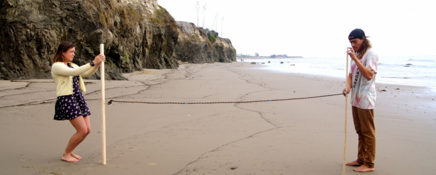
Join us on the beach!
Community Alliance for Surveying the Topography of Sandy Beaches (CoAST SB) volunteers monitor the movement of our shoreline in Santa Barbara and Ventura counties. We measure the contour of sandy beaches (known as beach profiles) using a quick and simple survey technique that takes approximately one hour, once per month. No experience is necessary.
Data collected by volunteers are provided to USGS scientists to help track changes and calibrate CoSMoS models. Local governments use this information for climate adaptation planning. Check out interactive maps of potential flooding in your area.
Fun, educational workshops are hosted at least once a year to celebrate CoAST SB volunteer efforts. These include presentations by university researchers/government experts, volunteer data sharing, and pizza. To learn more or become involved, please check out our flyer or email aaronhoward@ucsb.edu
CoAST SB is based at the Marine Science Institute at UCSB and funded by CASG and UCSB's Coastal Fund.
Project updates
- May 2018:
Community volunteers take to the beach: Measuring our dynamic coastline and impacts from the Montecito mudslide - August 2018:
Frequently Asked Questions about CoAST SB beach surveys - February 2020:
California Sea Grant Beach Monitoring Goes Digital


